
The Bear Lake Trailhead in Rocky Mountain National Park is located at the end of Bear Lake Road, 9 miles from Highway 36. Due to its extreme popularity you may want to consider using a free park shuttle during peak tourist season or carpooling with others who are going there too!
During peak seasons there is a timed entry system so make sure you have a reservation if you are heading to RMNP! To enter the park between May 28 and October 11 requires two things:
(1) a Timed Entry Permit or a reservation with a service (Service Reservation) plus a
(2) Park Pass or Entrance Fee.
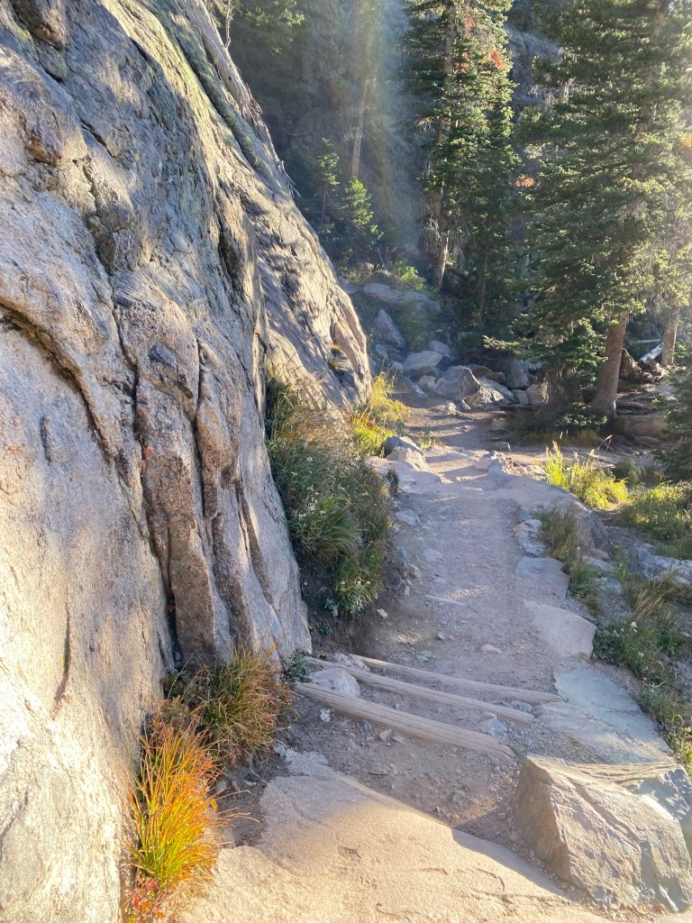
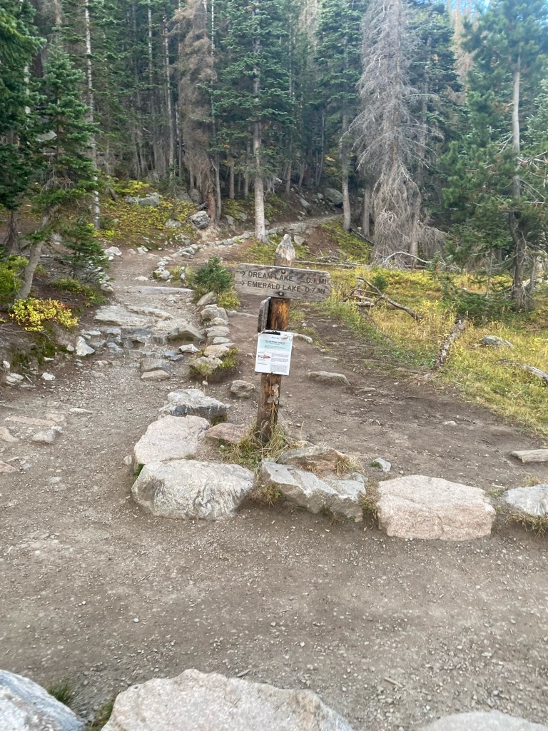
There is a short trail that is easily accessible which wraps around Bear Lake. We walked up to Bear Lake, but took an out and back trail that lead to three other lakes. The Emerald Lake Trail in Colorado is a moderate 3.2 mile hike with beautiful views of the lake and mountains.


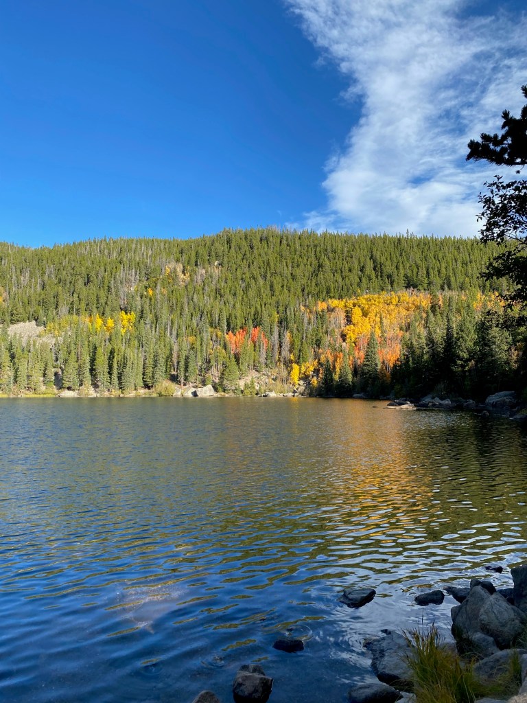
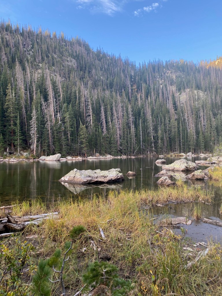
After Bear Lake, the next lake you will find is Nymph Lake. This pleasant alpine lake is spotted by lilies and provides the perfect spot for kids to play or for a nice picnic. Nymph Lake is just over 0.5 miles from the trailhead and is easy to get to.
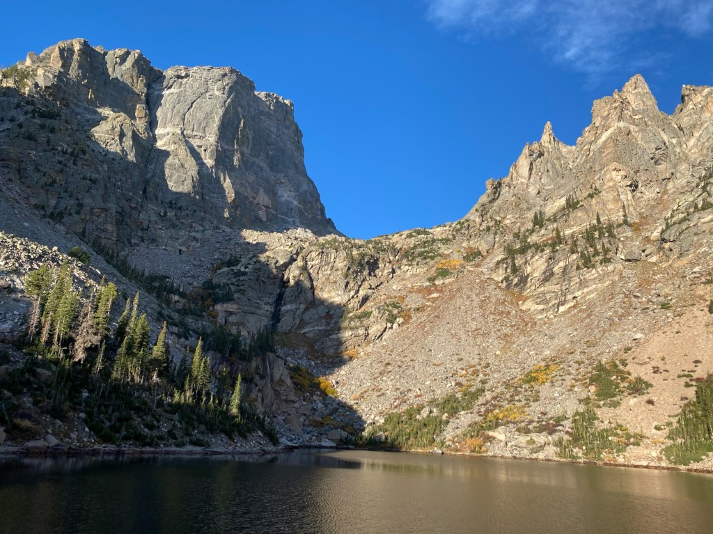
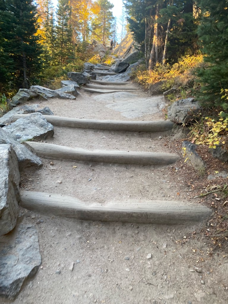
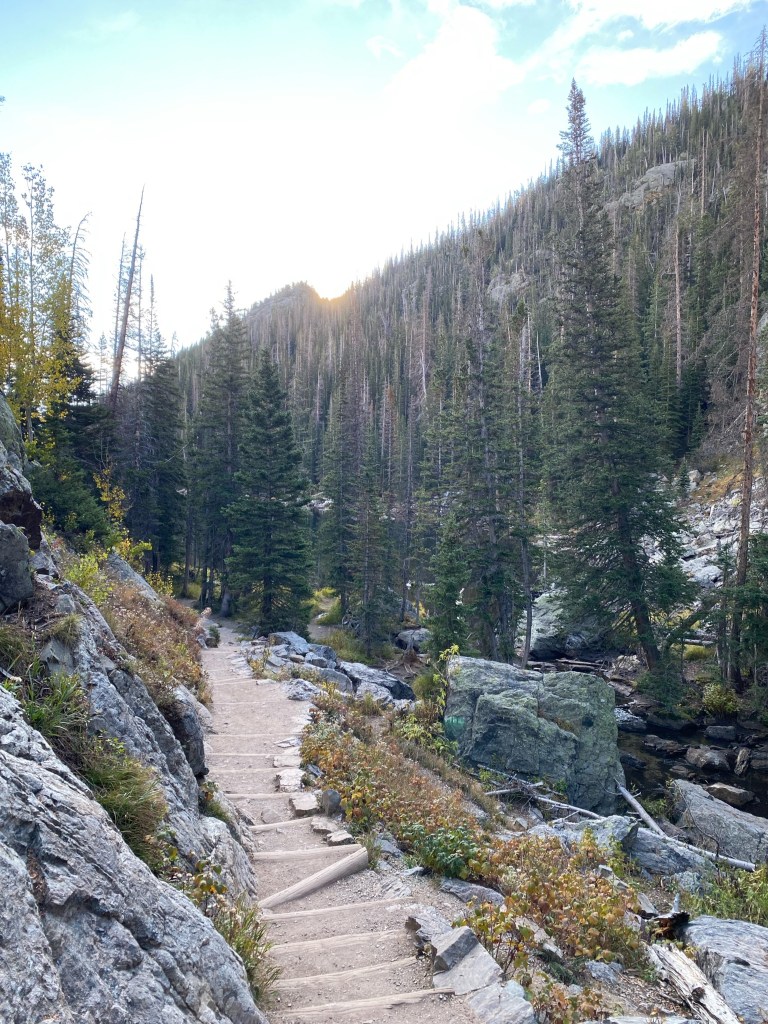
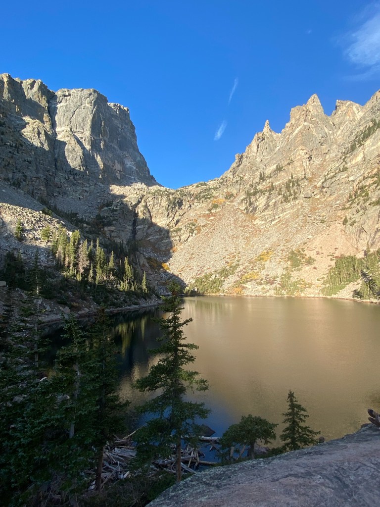
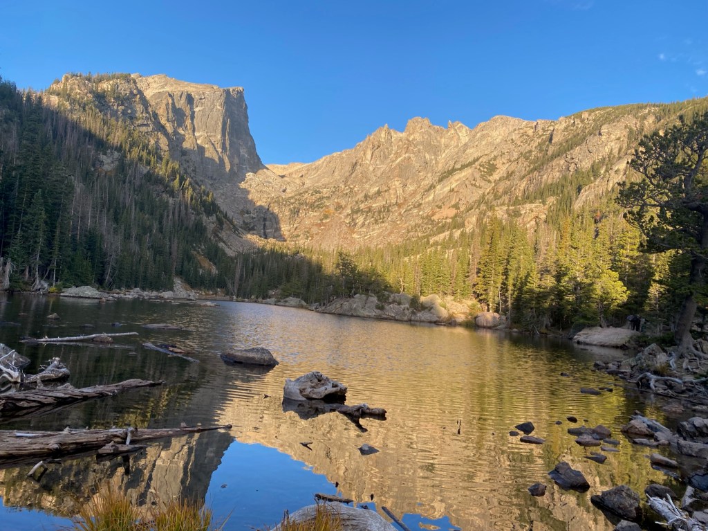
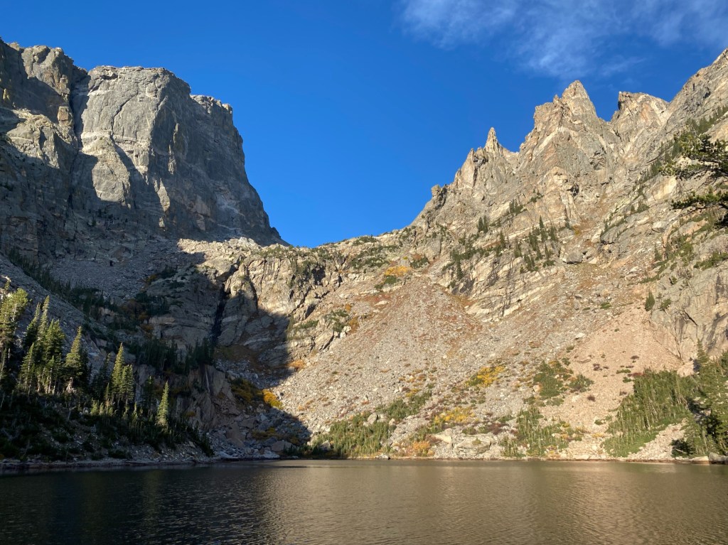
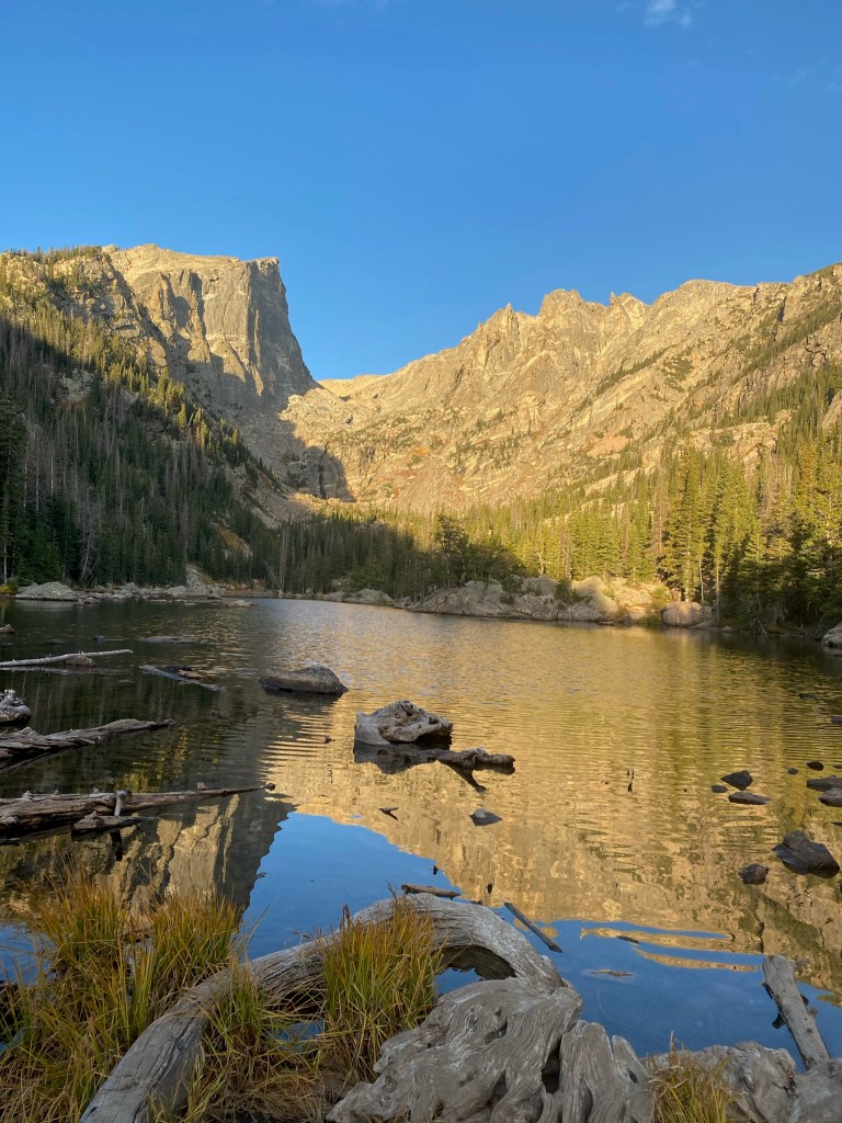
The hike from Nymph Lake to Dream Lake features some decent elevation gain and nice rocky stairs. Dream Lake is a high alpine lake located at the base of Hallett’s Peak. This was our favorite lake on the trip and is the largest. We saw many fish in the water so bring your pole if you have a license.
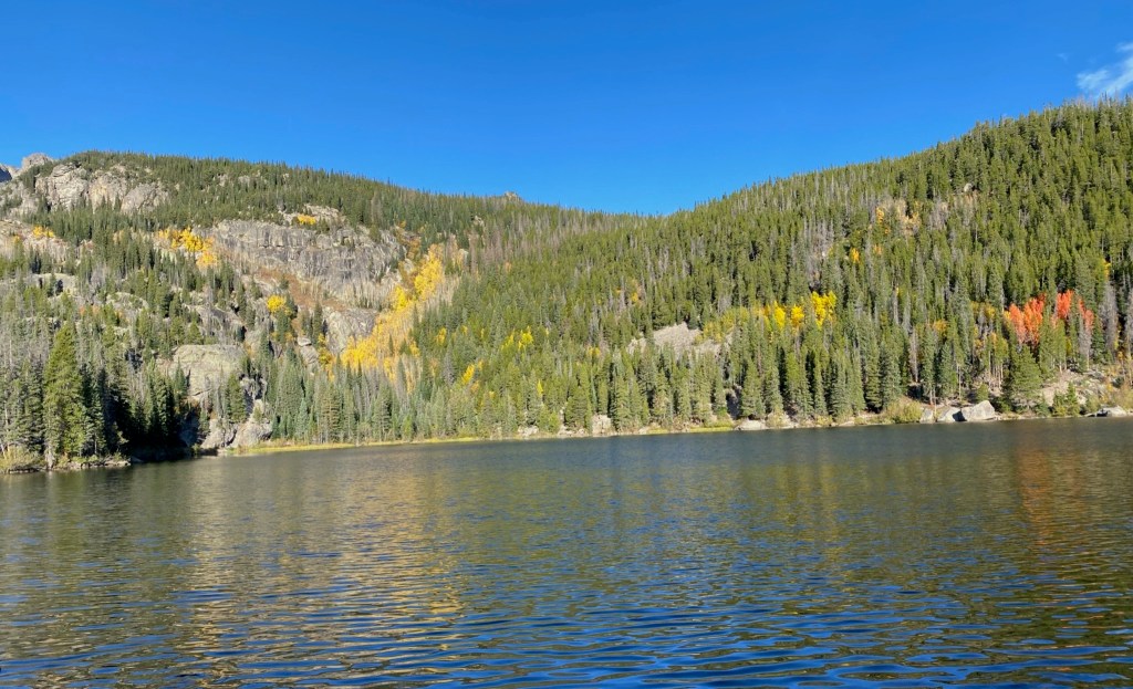
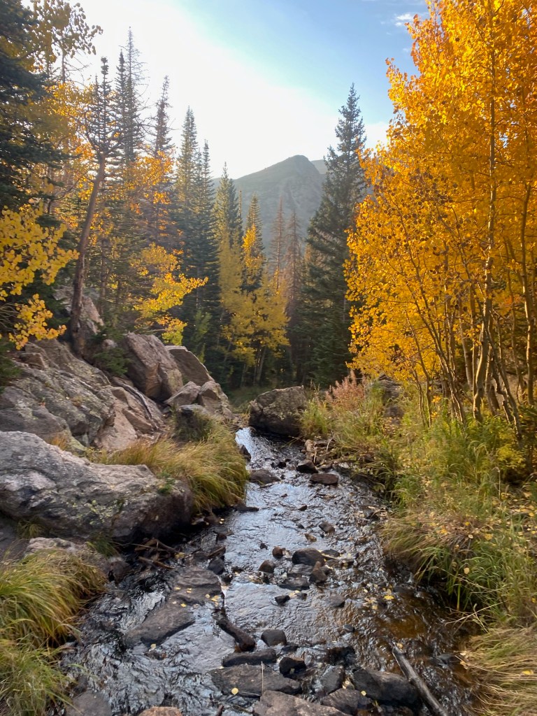
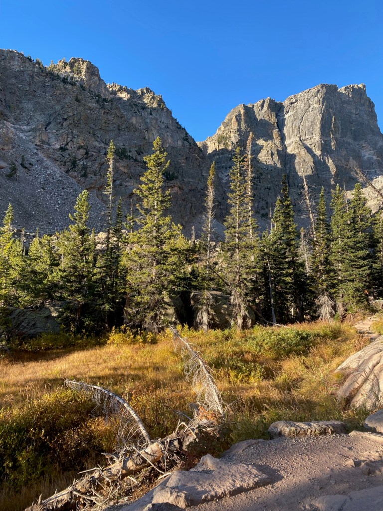
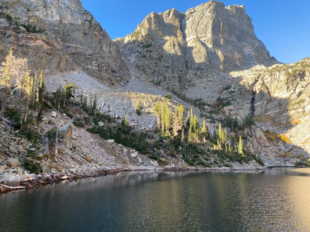
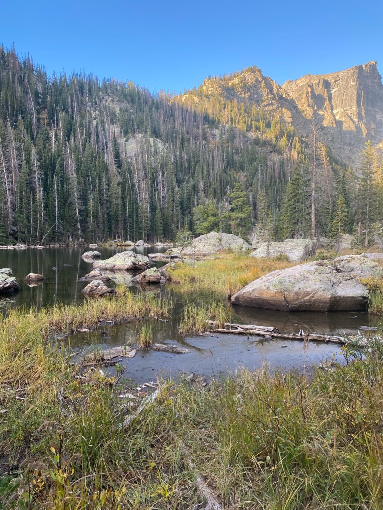
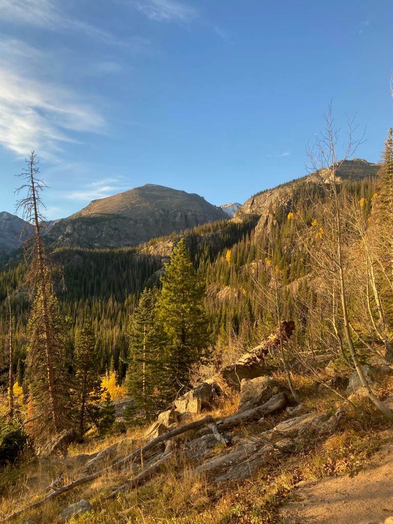
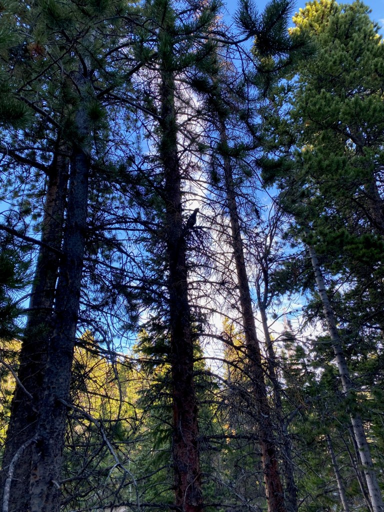
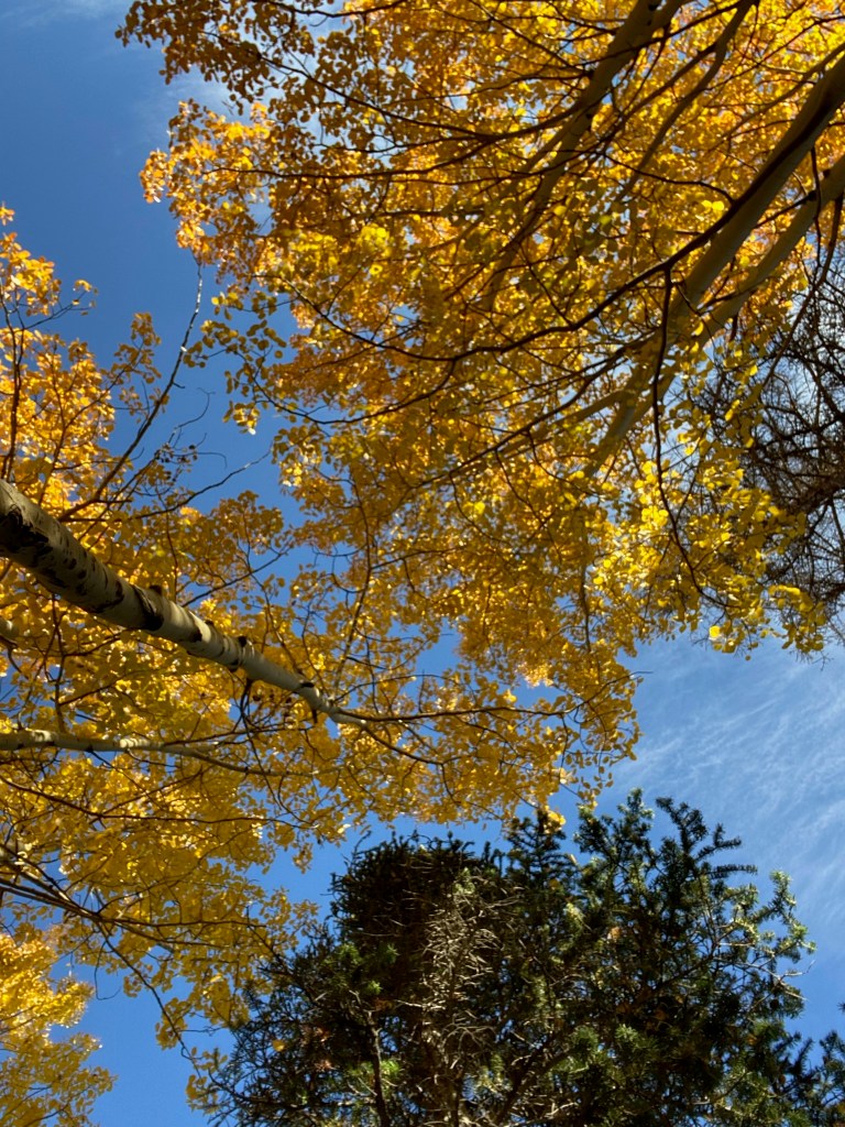
Emerald Lake is a steady elevation gain through ponderosa pine and aspen groves. The trail leads around its north shore before continuing higher into Tyndall Gorge. The trail then follows creekside paths alongside a nice stream all the way up to Emerald Lake.
We turned around at Emerald lake, but there are many more trails in Rocky Mountain National Park that we will explore soon!
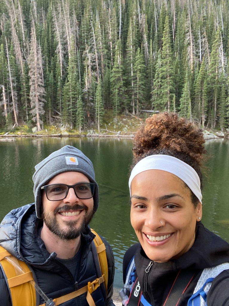
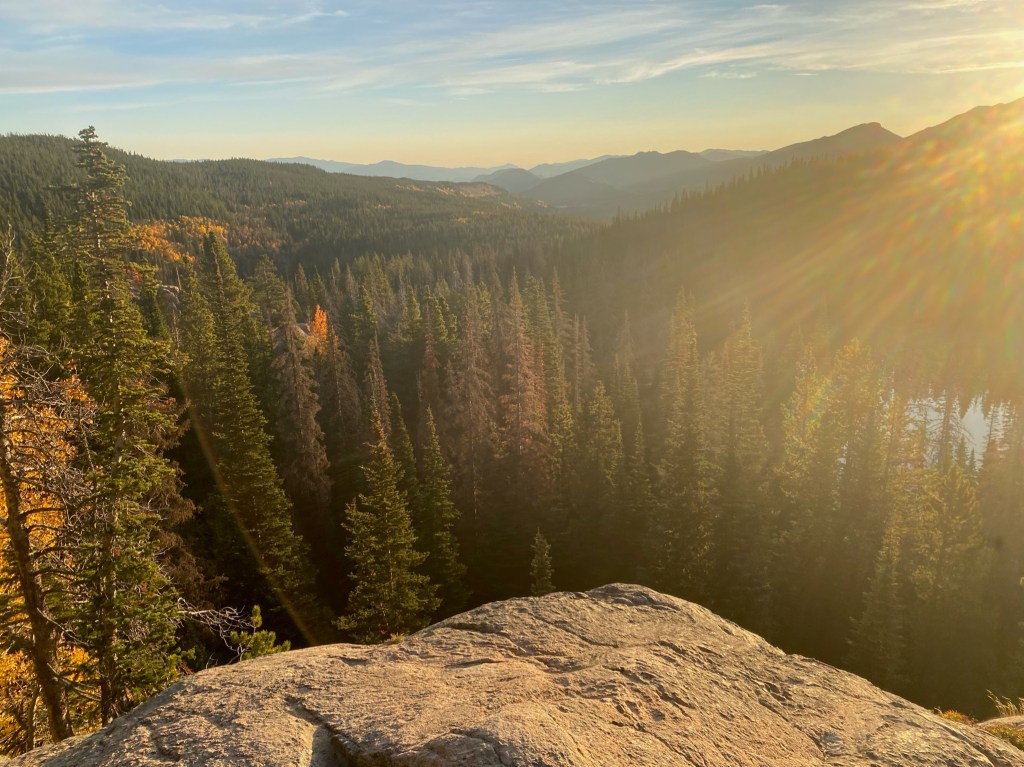
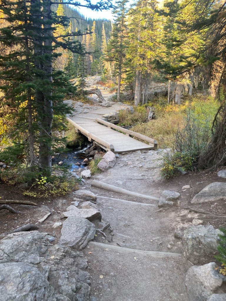
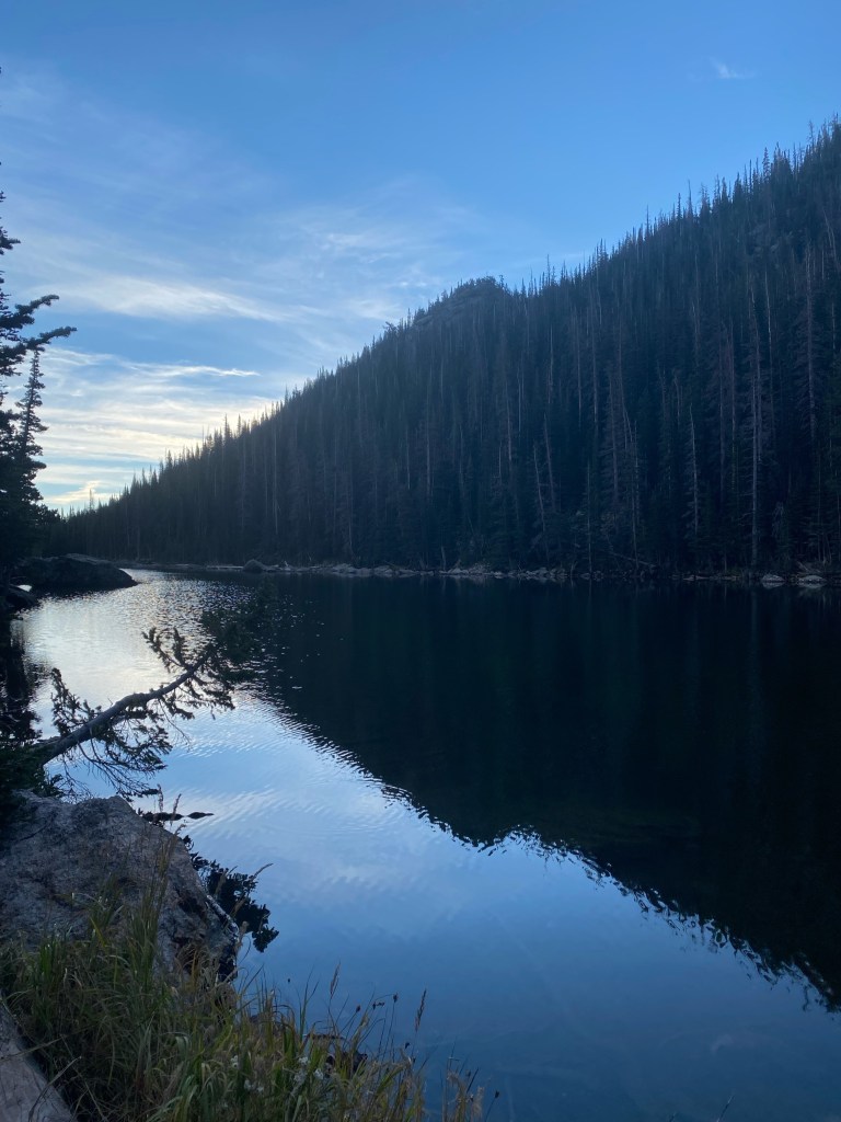
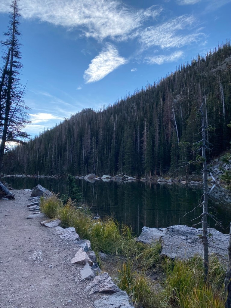
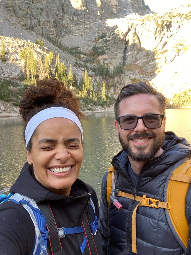
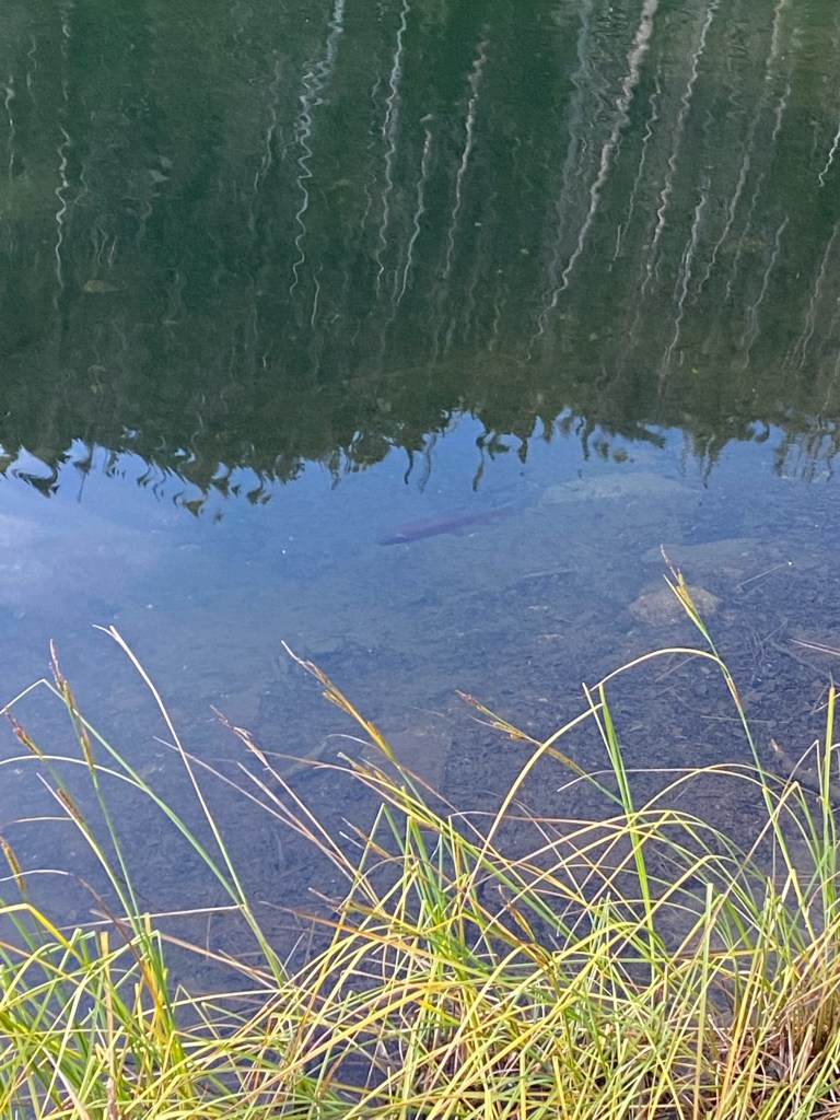
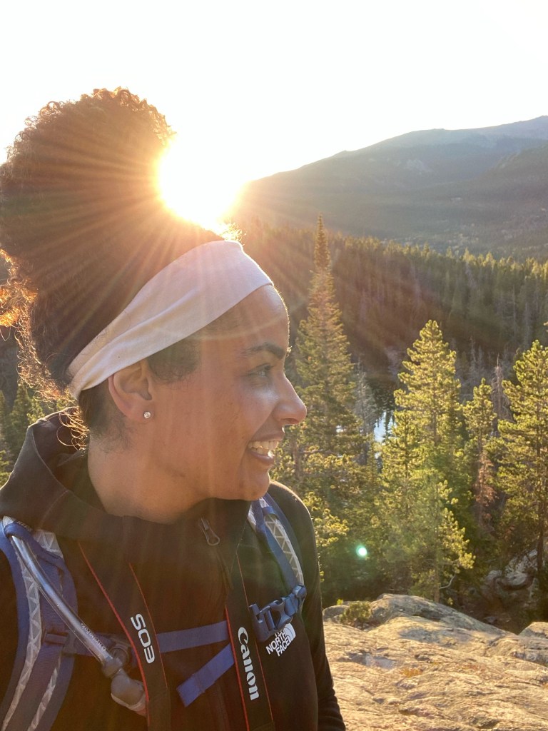
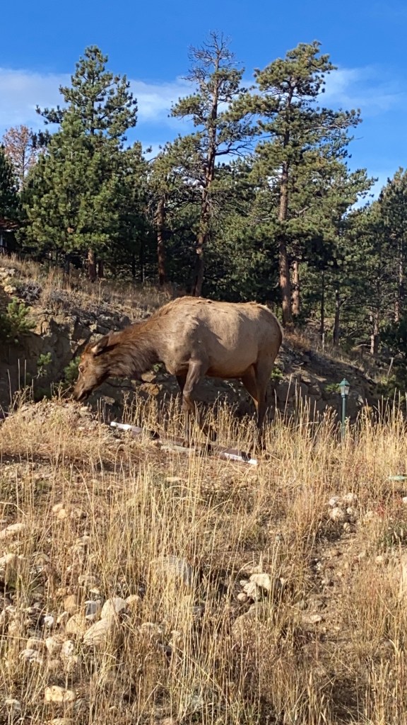
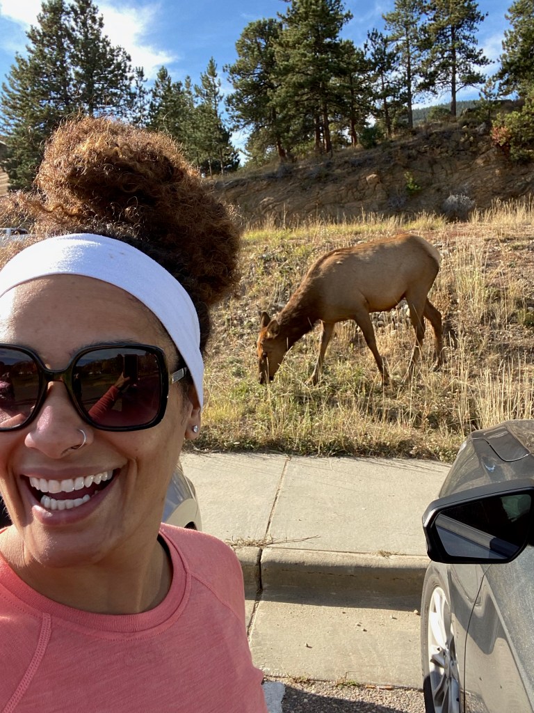
The picture below are from the trail and around the four lakes. There are also some pictures of some elk that we saw roaming around the Estes Park Visitors Center on our way out of town!


| Distance | 3.2 Miles |
| Difficulty | Easy to Moderate |
| Duration | 2 Hours |
| Trail Type | Out and Back |
| Elevation Gain | 698 ft |
| Peak Elevation | 10,170 |
| Trailhead Location | https://www.google.com/maps/dir/Current+Location/40.31195,-105.64567 |
| Parking | Lot With Bathrooms |
| Town Nearest Hike | Estes Park, CO |
| Fee | National Park Entrance $10 |
| Date Hiked | 10/6/21 |
